Your Full Travel Guide To Mt. Kenya
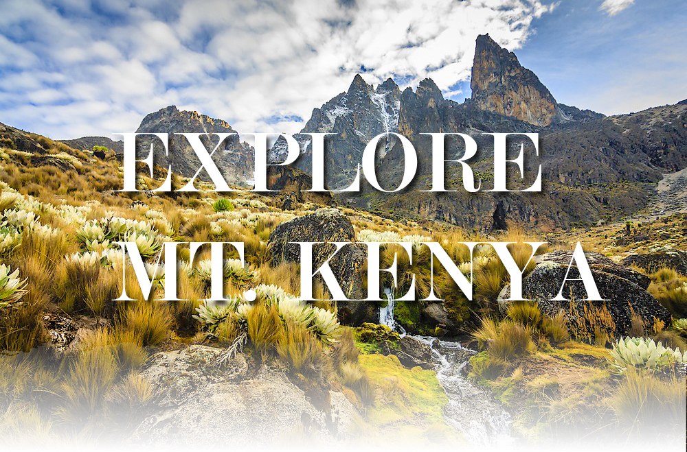
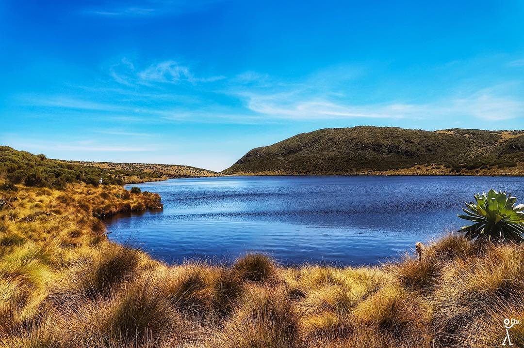
Mt. Kenya is the highest Mountain in Kenya at 5,199 m and second highest in Africa. This mountain is internationally recognized as an exceptional example of an equatorial mountain. It is pristine wilderness with lakes, tarns, glaciers, dense forest, mineral springs and a selection of rare and endangered species of animals, high altitude adapted plains game and unique montane and alpine vegetation.

How do you access the mountain?
Access to the mountain is good since the road from Nairobi is well maintained and the journey takes approximately four hours. Majority of the people use Naro Moru as their base on the west side, and Chogoria town or Embu as their base on the east side.
There are several routes you can use and they vary in distance

Sirimon Route
This route is accessed through the North West corner of the mountain from Nanyuki town. This is one of the popular routes and is usually considered one of the easier routes as it climbs relatively gradually with only a couple of steeper sections to reach the top camp.

Some accommodation facilities on this route include Old Moses camping site and Shiptons. Key attractions on this route include the open moorland and the classic U-shaped MacKinder Valley which can be spectacular in clear conditions.
Naro Moru Route
This route can be accessed from Naro Moru town on the west side of the mountain. It is considered the fastest route to the peak at Point Lenana and graded as moderately difficult. The route offers trekkers with the chance to see wildlife. Climbing on this trail primarily offers opportunity for hiking past vertical bog (muddy bog) and backpacking. On this route, there is a recently constructed paved road all the way to the Met Station Camp.
The forest is still dense on this route, as is the bamboo zone. You are quite likely to see bushbuck, colobus monkey and Sykes Monkey and also evidence of buffalo and elephant. The hygenia forest is also in good condition with a lot of flowers and other plants.
Chogoria Route
This route is accessed from the east side of the market from Chogoria town and it is arguably the most magnificent ascent route to the summit area. It is the driest route up the mountain and the walk beside the Gorges Valley is truly spectacular. Key attractions along this route include Mugi hill, Lake Ellis, the Giant’s Billiard Table and the Nithi Falls. It is very often used as a descent route after ascending one of the other routes.
Burguret Route
This route can be accessed from the west side of the mountain not far from the Naro Moru route. This route is not well used due to its added difficulties in route finding and lack of facilities. However, this lack of development and the chances that you will be the only party on the route adds to the attraction for some people
Timau Route
The Timau route approaches Mount Kenya from the North and follows a meandering route through the gentler northern slopes until they steepen at around 4200m. The peaks on Mount Kenya line up from east to west, meaning the views from the north give the impression you are entering an entire mountain range.

Kamweti Route
This route is approached from the south by driving up from the village of Kutus to the Forest Castle Lodge in the forest zone. You can begin the trek at the lodge or drive a further 6km up to the Kamweti Forest Station at around 2600m.

The trail up is fairly challenging: rough underfoot, with dense montane forest, lush stands of giant bamboo and muddy when wet.
In conclusion, hiking this Mount Kenya is a challenging and enjoyable journey to the highest trekking peak (Point Lenana) at 4985 metres. From the summit there is a beautiful view of the dramatic volcanic massif and the two main peaks of Batian and Nelion, as well as long views over the central plains of Kenya.